Fort Collins · self-guided night routes

Choose your crawl.

Compare six Fort Collins routes on real street maps. Each one shows where to start, where it finishes, every stop in order, and the walking time between doors.

06 routes · 35 stops across the lines · no signup

Actual Fort Collins street map with the Old Town after dark walking route and 8 numbered stopsFort Collins street map
StartSocial · Old Town SquareFinishBrothers · South College Avenue0.8 km · ~12 min walking

See the plan before you pick it.

The maps below use actual Fort Collins streets and the authored walking path. Read the start, finish, total distance, and route description first; then open the live map for directions and stop-by-stop progress.

Pick your line.

Every description explains the route’s geography, longest leg, and best use. Stops are ordered for the walk—not by preference, payment, or popularity.

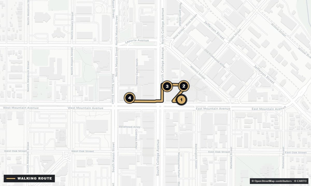
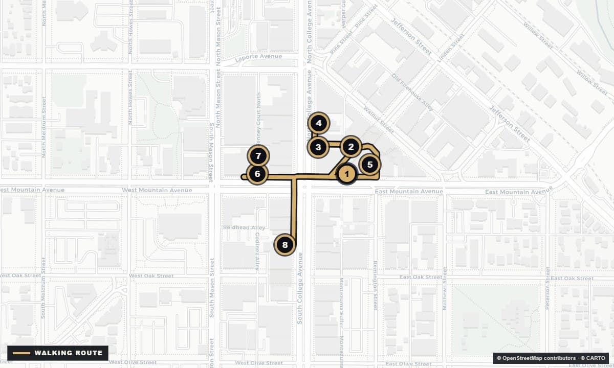
Actual Fort Collins street map with the The short list walking route and 4 numbered stopsFort Collins street map
StartSocial · Old Town SquareFinishTrail Head · West Mountain Avenue0.3 km · ~4 min walking

02

Four close stops · about 4 min walking

The short list

Start at Social, cross Old Town Square to Lucky Joe’s, continue to Town Pump on North College, and finish at Trail Head on West Mountain.

4 stops0.3 km~4 min walking
See route details + live map →
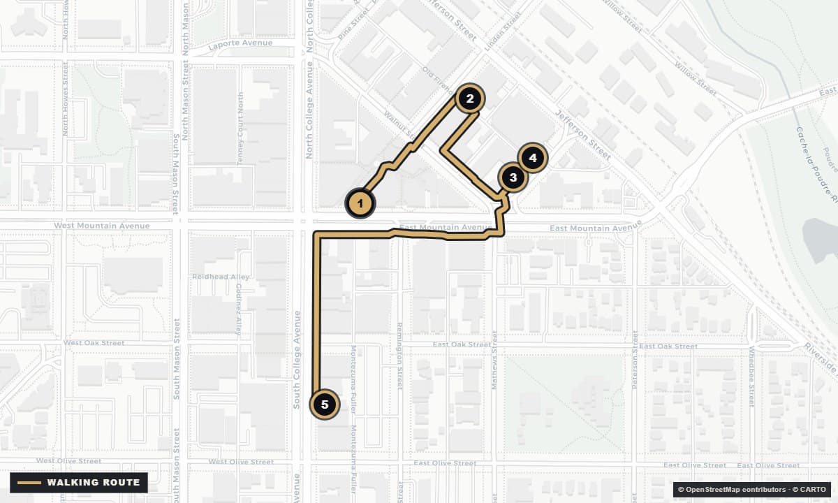
Actual Fort Collins street map with the Cocktails & low light walking route and 5 numbered stopsFort Collins street map
StartSocial · Old Town SquareFinishThe Whisk(e)y · South College Avenue1.0 km · ~13 min walking

03

Five stops · about 13 min walking

Cocktails & low light

Start at Social, walk east to Elliot’s on Linden, visit the two rooms at 111 Chestnut, then finish at The Whisk(e)y on South College.

5 stops1.0 km~13 min walking
See route details + live map →
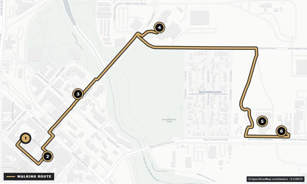
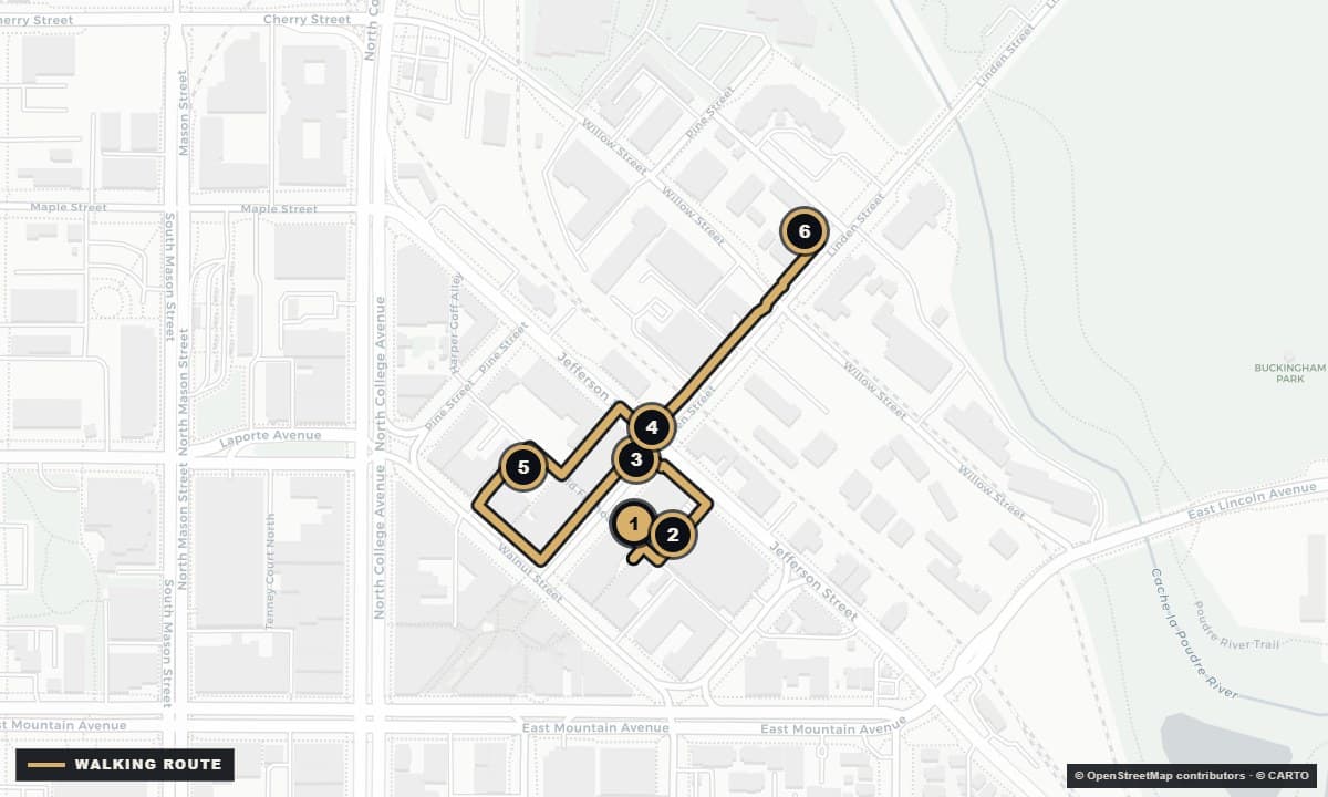
Actual Fort Collins street map with the The brewhouse line walking route and 6 numbered stopsFort Collins street map
StartThe Forge · Old Firehouse AlleyFinishOBC Wine Project · East Lincoln Avenue2.3 km · ~28 min walking

04

Longest route · one 12 min leg

The brewhouse line

Begin at The Forge and Salt Road, follow Linden north past Hello Brew and New Belgium, then take the long Lincoln Avenue leg to Odell and the OBC Wine Project.

6 stops2.3 km~28 min walking
See route details + live map →
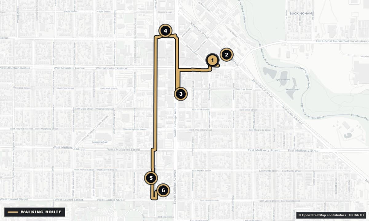
Actual Fort Collins street map with the The live rooms line walking route and 6 numbered stopsFort Collins street map
StartMagic Rat · Chestnut StreetFinishThe Atrium · West Laurel Street2.7 km · ~32 min walking

05

Show-led · longest total walk

The live rooms line

Start at Magic Rat and The Armory, cross downtown to Aggie and Washington’s, then walk south to Avogadro’s and finish at The Atrium near Laurel Street.

6 stops2.7 km~32 min walking
See route details + live map →
Actual Fort Collins street map with the Linden to the river walking route and 6 numbered stopsFort Collins street map
StartElliot’s · Linden StreetFinishHello Brew · North Linden Street0.8 km · ~11 min walking

06

Tight cluster · 5 min final leg

Linden to the river

Begin at Elliot’s, weave through nearby Old Firehouse Alley and Linden Street rooms, then make the final five-minute walk north to Hello Brew.

6 stops0.8 km~11 min walking
See route details + live map →

A route is a suggestion, not a challenge.

  • 01Check current hours, event details, tickets, and age rules with each venue before heading out.
  • 02Eat, alternate with water, stay with your people, and never pressure anyone to finish the line.
  • 03Walk only when the route and weather feel safe. Use a sober driver or rideshare for every non-walking leg.

The map gets you there. The calendar tells you why.

Build the night around something real.

Check tonight’s events or start with the live-music board, then use a crawl for the doors around the main event.